Kamran island is the largest in an archipelago, offshore of the Yemeni Red Sea coast. It covers around 57 square km. Its name, meaning “two moons” in Arabic, refers to a double reflection of the moon that can be seen there. However, this peculiar scene is just a frontage of the unique beauty of Kamran pristine shores, mangroves and underwater world. Supporting the richest and most diverse coral, mangroves and seagrass of the Red Sea coast in Yemen, northern Kamaran was newly declared by the country as a Protected Area in 2009, which adds another piece of the Red Sea pearls to the Regional Network of Protected Areas in the Red Sea and Gulf of Aden, established and coordinated by PERSGA Since 2005.
Upon request from Yemen and following the criteria identified in the SEM Project, Kamaran was approved as a Pilot Site for implementing demonstration activities of the regional project “Strategic Ecosystem Management of the Red Sea and Gulf of Aden” in Yemen, in consultation and collaboration with the Environment Protection Authority (EPA) in Yemen.
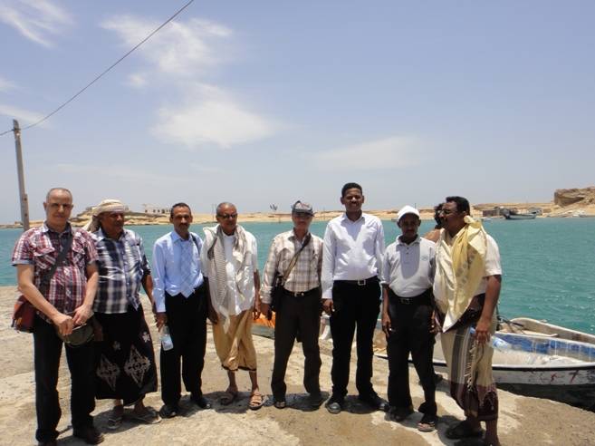
In this connection, a team from PERSGA HQ including Dr. Ahmed Khalil- the Regional Coordinator for the Living Marine Resources, and Dr. Maher Amer- the Regional Coordinator for Biodiversity and MPAs carried out a mission to Yemen during 26 April- 03 May 2014. Accompanied by the National consultants from Hodeida University, Dr. Abulsalam Alkwari, and Dr. Anwar Alzubairy, and the SEM project National Coordinator in Yemen, Mr. Samir Kebsi, the team conducted a field visit to Kamaran Island. The objective of the field visit was to launch a social survey and holding a series of consultation meetings with the local community to provide input data and information to develop the environmental and social safeguard management framework (ESMF) for the SEM project anticipated interventions in Kamaran Island.